Uganda Road Trips: Planning Fuel Stops & Distances
Uganda rewards road trippers with dramatic scenery packed into a relatively small country — you can go from Lake Victoria’s shores to savannah plains to misty mountain forest in a single day’s drive. But that compactness on a map hides a real logistical challenge: distances that look short can take hours longer than expected, and fuel availability is not something you can take for granted once you leave major towns. Planning around these two factors properly is what separates a smooth trip from a stressful one.
Why “Distance” in Uganda Doesn’t Mean What You Think
On paper, many of Uganda’s major routes look short. Kampala to Kasese (gateway to Queen Elizabeth National Park) is roughly 400 km — a distance that would take under four hours on a good European or North American highway. In practice, it commonly takes six to seven hours or more.
A few reasons distances stretch out:
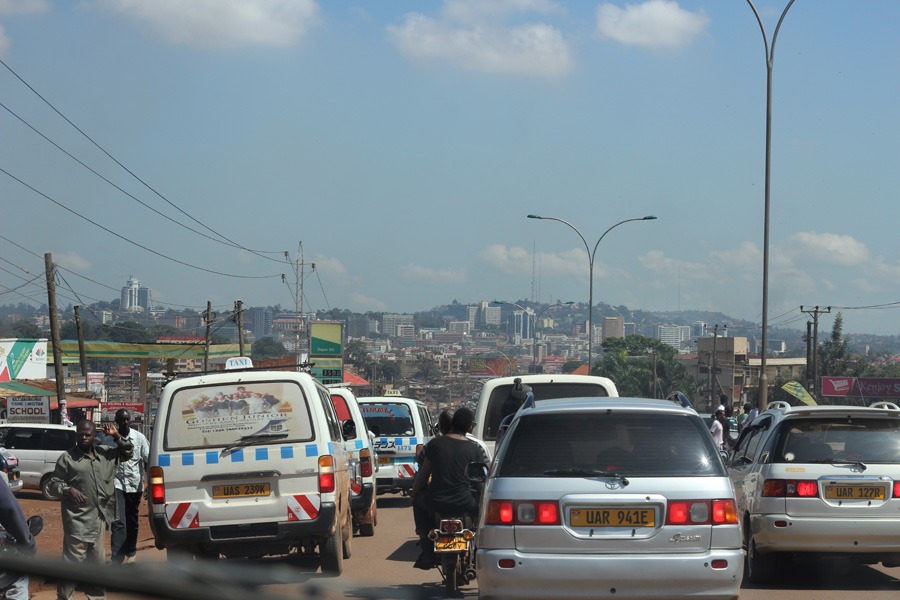
- Road surface variability. Even on tarmac routes, potholes, ongoing construction, and stretches of poor-quality surface slow traffic considerably.
- Traffic through towns. Every route passes through towns and trading centers with markets, pedestrians, boda-bodas (motorcycle taxis), and minimal bypass infrastructure — expect to slow to a crawl repeatedly.
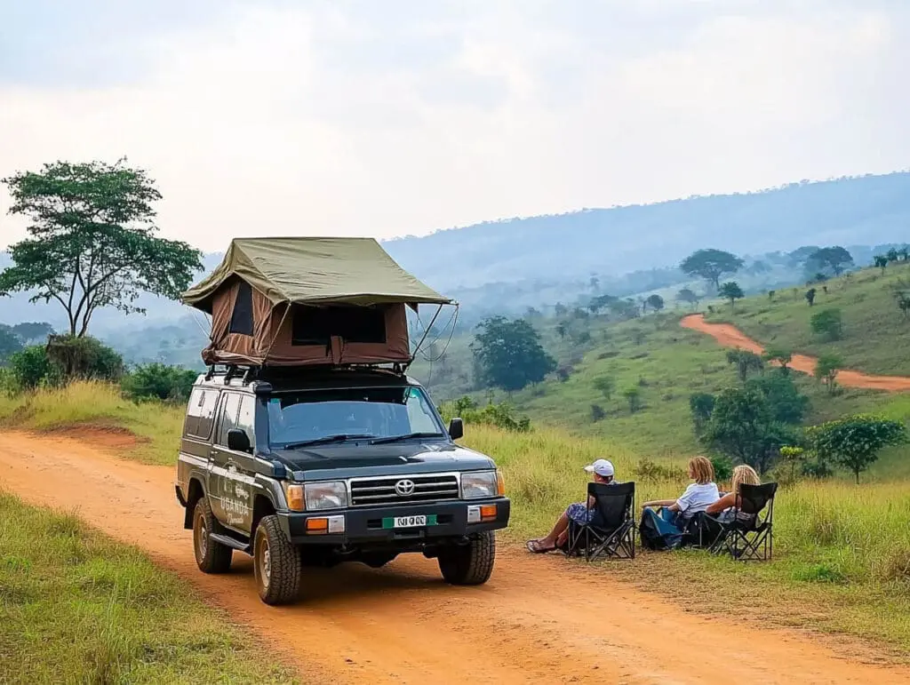
- Unpaved sections near parks. The final stretch into most national parks and lodges is murram (dirt) road, which is slower and, in wet season, can add significant time or become temporarily impassable.
- Livestock and pedestrian crossings. Rural roads frequently have cattle, goats, or people crossing, especially near trading centers.
- Altitude and terrain changes. Routes through hilly or mountainous regions (like the road toward Bwindi) involve constant elevation change that slows average speed well below what distance alone would suggest.
Planning rule of thumb: for routes involving unpaved sections or park access roads, budget significantly more time than a map application estimates — treat any online estimate as a floor, not a ceiling, and build in a real cushion.
Mapping Fuel Stations Before You Leave, Not While You’re Driving
Fuel availability in Uganda is reasonably good along major highways and in and around larger towns, but it thins out fast once you’re on rural roads or approaching remote parks like Kidepo Valley in the far northeast.
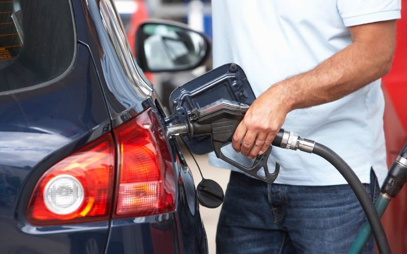
Where fuel is reliable
Kampala, Entebbe, Jinja, Mbarara, Fort Portal, Kasese, Mbale, and Gulu all have multiple well-stocked stations, generally including major branded stations that tend to have more consistent supply and card payment options than smaller independent stations.
Where it gets thinner
Once you’re heading toward more remote park entrances — parts of the route to Kidepo Valley, deep into Karamoja, or off the main road network generally — fuel stations become sparser, and the ones that exist may have inconsistent supply, cash-only payment, or lower fuel quality. This is exactly where running low is the most inconvenient and the least recoverable.
Practical fuel-planning steps
- Refuel at every major town, not just when the tank runs low. Treat “we’re passing through a town with a station” as a refueling opportunity, not an optional stop — you may not see another reliable one for hours.
- Never let the tank drop below half on remote or park-access routes. This gives you a real margin if the next station turns out to be closed, out of fuel, or further than expected.
- Carry cash. Card payment isn’t universal outside major towns, and rural stations in particular are often cash-only.
- Ask your rental company or driver-guide about the specific route. Local drivers usually know current fuel availability far better than any app or blog post, since supply can shift week to week.
- Consider a jerry can for the most remote itineraries. For routes like Kidepo Valley, where towns are far apart, some self-drive travelers carry extra fuel as a safety margin. If you do this, secure it properly and be mindful of heat.
Building a Realistic Daily Driving Plan
A few principles help keep road trip days manageable rather than exhausting:
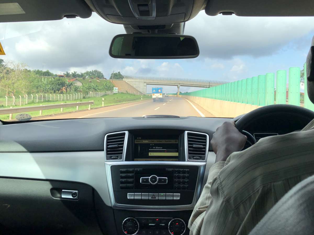
- Don’t schedule more than one long drive per day. A single 5–7 hour drive is manageable; stacking a long drive with an afternoon activity on the same day usually backfires.
- Front-load your drive. Start early, both to avoid midday heat and traffic and to build in slack for the unexpected — a slow border crossing, a puncture, road construction.
- Break long routes into overnight stops rather than one-day marathons. For example, rather than driving Kampala to Kidepo Valley in one push (a genuinely grueling drive), many travelers split it via an overnight stop, arriving fresher and with more flexibility if something goes wrong.
- Build in buffer time before activities with fixed start times. Gorilla trekking briefings, for instance, start at a set time each morning — arriving the night before rather than driving in that morning removes a major source of stress.
Road Conditions Change by Season
#image_title
Uganda has two rainy seasons (roughly March–May and September–November) that materially affect both drive times and fuel planning. Murram roads that are perfectly manageable in dry season can become slow, muddy, or briefly impassable after heavy rain, which extends drive times and can also affect which routes fuel trucks are able to service reliably. If you’re traveling in a wetter period, add extra buffer time and lean more heavily on local knowledge — from your rental company, driver-guide, or lodge — about current road conditions before setting out.
Self-Drive vs. Driver-Guide: How This Affects Fuel and Distance Planning
Self-drive travelers carry the full weight of fuel and route planning themselves — worthwhile for those who want full control, but it does mean actively tracking fuel levels and researching each leg of the route in advance. A driver-guide, by contrast, generally already knows which stations are reliable on a given route, how long each leg realistically takes, and how current road and weather conditions are affecting travel times — taking a significant planning burden off travelers who’d rather focus on the trip itself than the logistics behind it.
A Simple Pre-Trip Checklist
- Map your full route and identify every town along it with fuel stations
- Confirm with your rental company which stations are reliable versus which to avoid
- Plan to refuel at every major town rather than waiting until low
- Add real time buffers to every leg, especially any unpaved or park-access sections
- Check the season and current road conditions for your specific route before departure
- Carry cash for fuel and keep a rough idea of the next 2–3 fueling opportunities at all times
The Bottom Line
Uganda road trips are genuinely rewarding, but they punish travelers who plan by map distance alone. Treat every route as longer than it looks, treat every fuel stop as an opportunity rather than an optional extra, and build real buffer time into each day. Do that, and the driving becomes part of the adventure rather than the thing you’re fighting through to get to it.
Planning a road trip in Uganda and would like to book a rental car and driver online- simply contact us now by sending an email to info@ugandacarrentalservices.com or call us now +256-700135510.